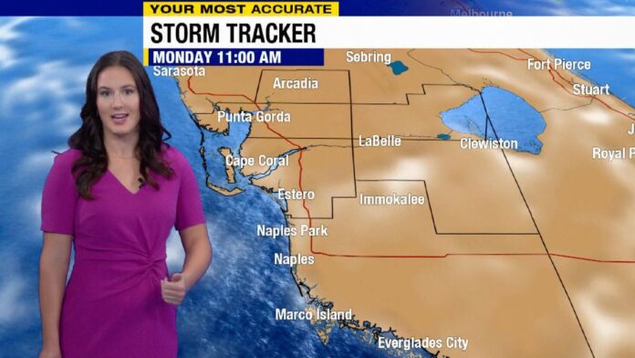
Typical summer weather continues today for SWFL, with plenty of sunshine, highs in the 90s, and isolated to scattered afternoon downpours and storms.
We’re off do a dry and sunny start this morning. Temperatures settled into the middle 70s overnight, and with full morning sunshine those numbers will jump quickly. Look for highs to soar into the middle 90s in most locations, with humidity pushing our heat index over 100° by the mid-afternoon.
The heat will bring the sea breeze in off the Gulf, which helping to ignite spotty downpours and storms by the mid-afternoon. Look for storms to begin close to US-41 and I-75, spreading to our inland communities from there. While severe storms aren’t expected, a few will be heavy packing torrential rain, frequent lightning and in a few cases strong winds.
Similar conditions will persist through the rest of the work week, with dry and sunny mornings giving way to afternoon downpours and thunderstorms. Highs will reach the lower 90s each day.
By the weekend a front will approach the area and stall out overhead or just to our north — upping our rain chances while bringing a slight drop in temperatures and humidity.
Tracking the tropics:
Hurricane Lee is back to major hurricane status north of the Caribbean. It will hover between category 3 and 4 intensity over the next 48 hours as it crawls northwestward — and will then take a hard turn to the north by midweek. While it is no threat to SWFL, it will near the coast of New England and Atlantic Canada in a weakened state this weekend into next week.
Margot remains a strong tropical storm in the central Atlantic. While it will likely become a hurricane in the coming days, it is headed north and will not impact any land areas.
There’s yet another disturbance moving away from Africa this morning that will have a chance to develop as it moves WNW across the far eastern tropical Atlantic this week. If it takes a name, it will be Nigel. It is too early to say if this one is going to impact any land areas, and is still more than a week out from nearing the Caribbean. We’ll be watching it, so stay tuned for updates.


