The clouds have cleared for the night as an area of low pressure moves away from Florida. The evening will be a pleasant one to spend outdoors. Temperatures will dip into the lower 70s late tonight, with lows in the upper 60s around sunrise.
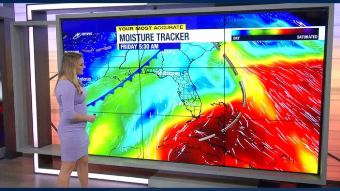
We are tracking two cold fronts this weekend, which will attempt to move south near SWFL. The first front will get surrounded by dry air on Saturday, which will force it to dissipate near Central Florida. The second front is forecast to push south into Florida on Sunday. It will slowly move south, losing strength as it does.
What this means for our forecast is that there won’t be any significant impact on our forecast. We could see a slight drop in humidity on Sunday, but that’s pretty much the extent of it. Over the next few days, we will continue to be warm during the day and dry with plenty of sunshine. The evenings will be pleasant, with lows in the mid-upper 60s.
TRACKING THE TROPICS:
Tammy strengthened to become a hurricane on Friday, as it is approaching the Lesser Antilles. Heavy rainfall is likely over much of the Lesser Antilles through the weekend. Hurricane warnings have been issued for Guadeloupe, Antigua, Barbuda, Montserrat, St. Kitts, Nevis, Anguilla, St. Maarten, St. Martin, and St. Barthelemy. Tropical storm warnings have been issued for Dominica, Saba, and St. Eustatius.
Hurricane Tammy is forecast to turn north Monday, followed by a northeasterly turn away from Bermuda. It will not affect the United States.
The National Hurricane Center is watching an area in the southwestern Caribbean Sea that has a low chance for some slow tropical development within the next 7 days. The disturbance is forecast to move Central America early next week, where no further development is expected.
Hurricane season continues through November.


